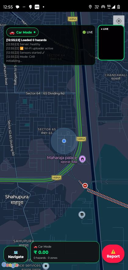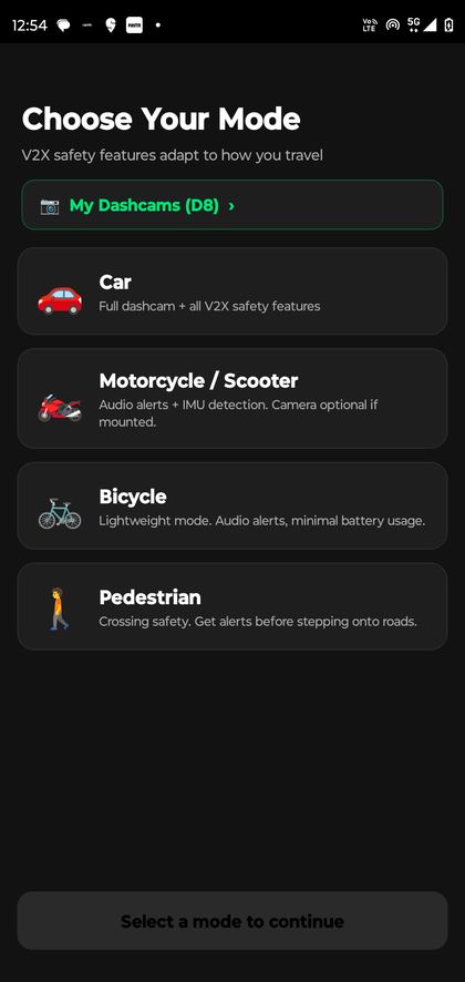
Civilytix Maps
Real-time road-hazard perception for Indian roads, using the dashcams and phones already in vehicles.
- Role
- Co-Founder & CEO, lead architect
- Models
- Ultralytics YOLO11s segmentation fine-tuned on Kaggle · Google SigLIP 2 zero-shot
- Stack
- Python FastAPI · PyTorch · PostGIS · Node.js · React Native · Google Cloud Run
- Traction
- Paying truck-fleet pilot in Faridabad · Bharat Safety winner · IRF 2026 Start-up Label, Geneva
Perception pipeline
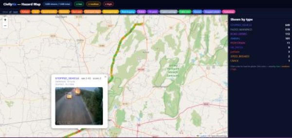
dashcam JT/T 808/1078→1 frame/s while moving→YOLO11-seg · SigLIP 2→blur faces & plates→3-vehicle consensus→live map
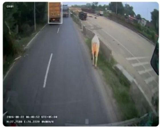
- Wrote an in-house gateway for the dashcam protocols. It streams road frames with GPS, speed and heading, and analyses frames only while the vehicle is moving.
- Merged several public and in-house datasets into one class map, cut a 45 GB corpus to a 5 GB balanced set, published it as a Kaggle Dataset and fine-tuned YOLO11 on Kaggle’s NVIDIA T4 ×2 GPUs.
- Mined 170+ hours of road-camera footage with Google’s SigLIP 2 vision-language model on Kaggle. One forward pass scores each frame against 15 hazard prompts and negatives, with resumable checkpoints in Cloud Storage.
- Model-assisted labelling in CVAT, multi-frame tracking that folds 10–15 detections into one event, and confidence triage that sends uncertain cases to people.
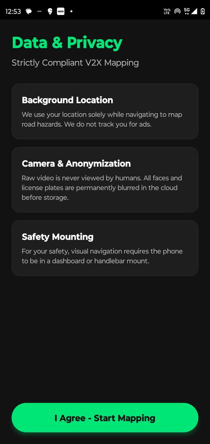
- PostGIS merges reports within 20 m and publishes a hazard only after 3 independent vehicles agree. Frames that fail anonymisation are rejected before storage.